
Project · In-house R&D
Vegetation management for overhead power lines
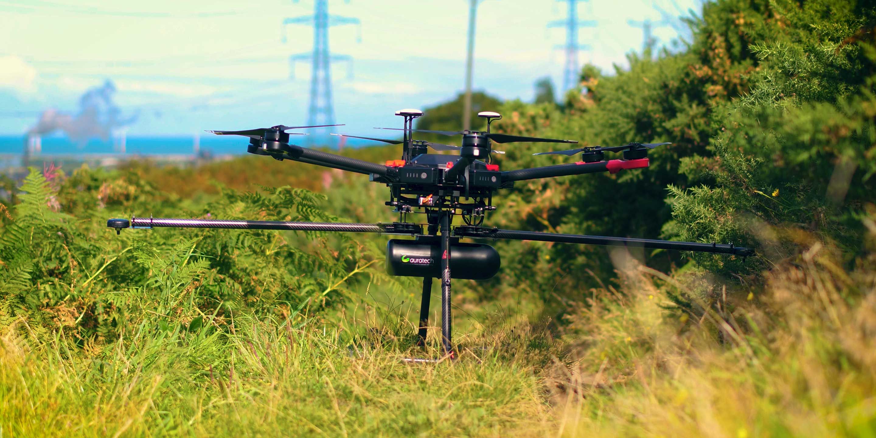
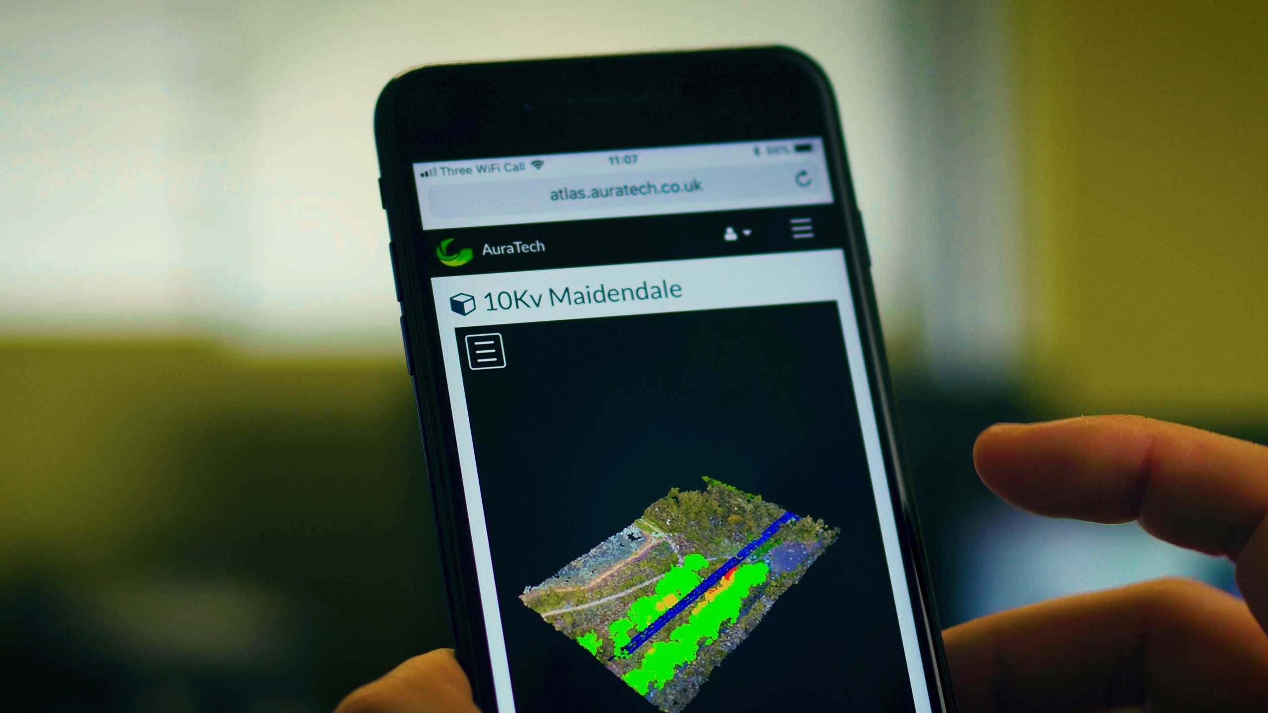
Our most ambitious project: a complete survey system for power line corridors, from a drone-based LiDAR data acquisition vehicle to ATLAS, our own cloud platform for analysis and delivery. It sits outside our core market, but it shows how we take a problem from first principles to a working system.
The problem
Tree contact is one of the main causes of faults on overhead lines, yet most vegetation surveys are still done by walking the line and judging clearance by eye. Overestimate the encroachment and contractors clear trees that never needed cutting. Underestimate it and the result is an outage, a fire risk and a dangerous site for maintenance crews.
What we built
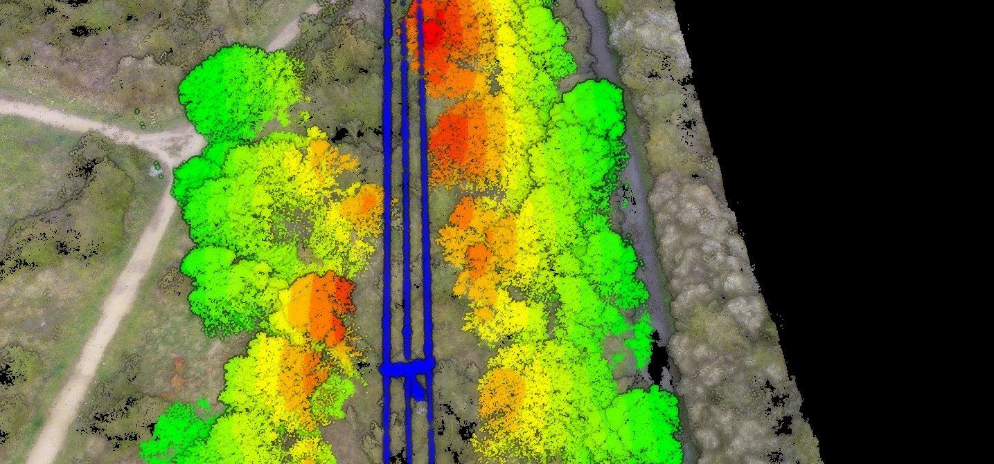
We integrated the sensors, flight platform and on-board computing into one data acquisition vehicle, then wrote the processing pipeline behind it. Every point in the corridor is classified, measured against the nearest conductor and delivered to the client as an interactive 2D and 3D map, so clearance work can be planned and costed from measured data rather than opinion.
| Platform | Multi-rotor UAS |
|---|---|
| Sensors | RTK GNSS LiDAR, UHD RGB camera, optional thermal |
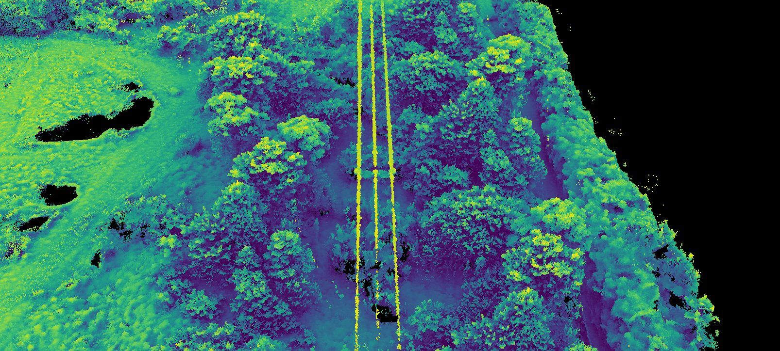
| Outputs | Classified 3D point cloud, RGB and thermal orthomosaics |
| Analysis | Classification and vegetation-to-asset proximity, per point |
| Delivery | ATLAS cloud portal, web and mobile |
| Scope | Hardware, software and survey method |
Method
Acquire, analyse, visualise
- 01
Acquire
One flight captures LiDAR, RGB and optional thermal data along the corridor.
- 02
Analyse
Each point is classified, then every vegetation point is measured to the nearest powerline asset.
- 03
Visualise
Encroachment maps in 2D and 3D, delivered to the client through ATLAS.
Start a project